
Today, the maximum yield from urban forests ecosystem services has not been sufficiently structured. One of the biggest stumbling blocks is the lack of an (up to date) inventory as this is time consuming and seldom area covering. Advances in remote sensing and image processing allow us to view urban green spaces at city level in a fast efficient way with high spatio-temporal resolution. Automatic crown & location detection and health screening opens the doors to the development of practical analysis and policy tools. For this, tree policy plans can be substantiated with more and better data and can be integrated into climate plans.
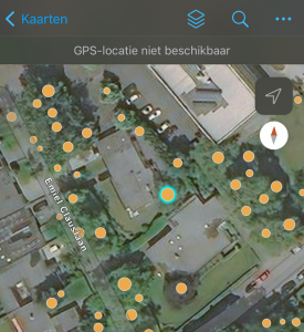
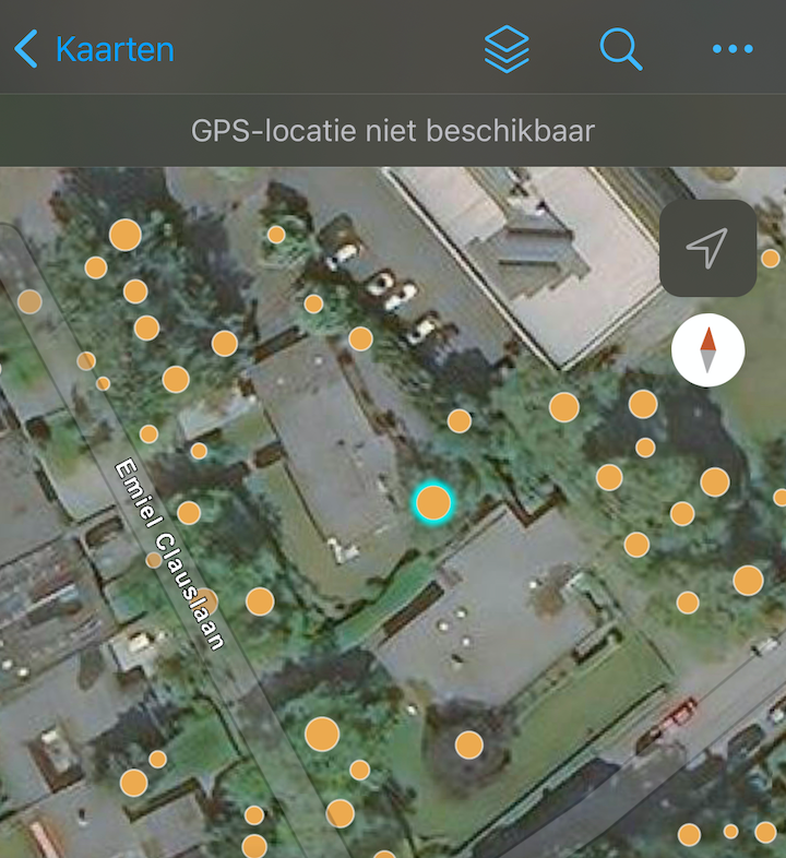
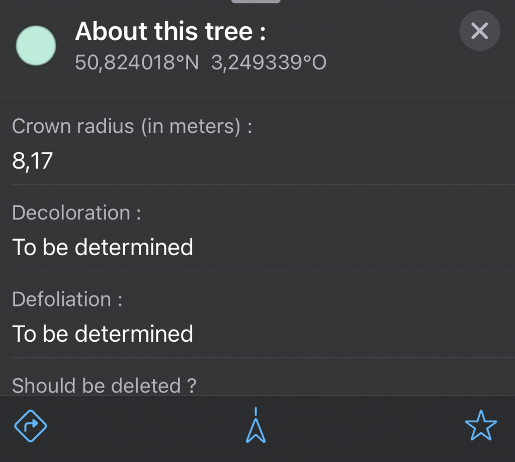
The Urban Forestry Lab of VIVES University of Applied Sciences and EUROSENSE focus on automatic tree, crown area and health screening of the urban tree stock using remote sensing data via artificial intelligence and citizen science. We are working with citizens In Kortrijk (West-Flanders) to collect tree data in the field to validate the AI algorithm, and to complete additional attributes for each tree. To obtain reliable data, we inform and train citizen scientists, along with protocols and sampling. The result will be a tree map with corresponding tools via a viewer
Find out more on https://amai.vlaanderen/projecten/project-milieu or contact bregt.roobroeck@vives.be